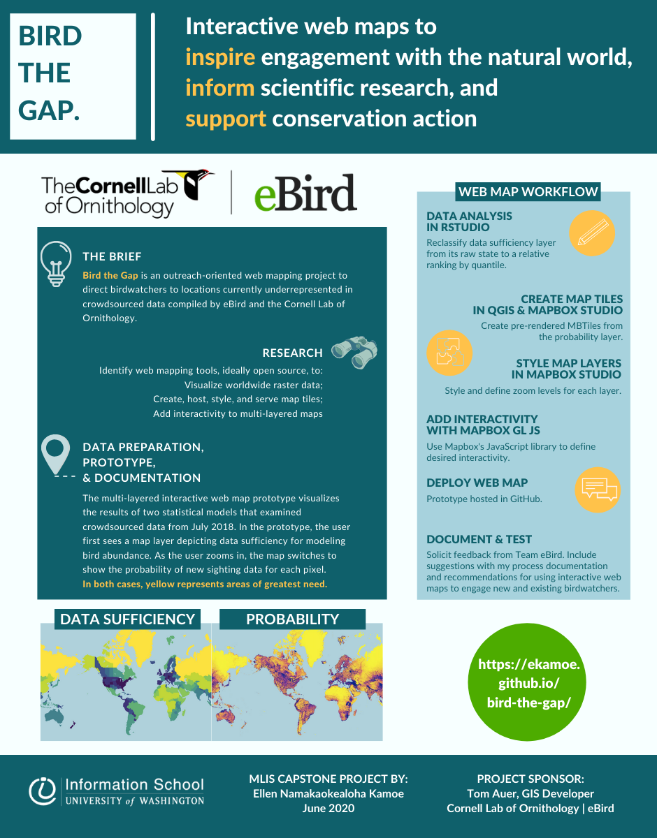
Bird the Gap: Interactive Web Maps to Inspire Engagement with the Natural World, Inform Scientific Research, and Support Conservation Action

Bird the Gap is an outreach-oriented web mapping project to direct birdwatchers to locations currently underrepresented in crowdsourced data compiled by eBird and the Cornell Lab of Ornithology. My multi-layered interactive web map uses two sets of raster data from eBird’s statistical models to identify geographic gaps in worldwide data from 2018. Using open-source software programs RStudio and QGIS, I prepared data for all 52 weeks. The scalable prototype uses Mapbox and its JavaScript library to visualize data from one week in July. Bird the Gap will assist in eBird’s ongoing mapping projects, which support scientific research and conservation efforts.
Project sponsored by: eBird at the Cornell Lab of Ornithology
Project participants:
Ellen Kamoe
MLIS
